
AI-Powered Resource Mapping
Tracking Water, Food, and Power in a Crisis

Post is sponsored by MediTAC. Find high-quality, reliable medical kits to prepare you for any situation, from everyday first-aid needs to emergency scenarios.
When the grid goes down or supply chains buckle, knowing where to find water, food, and power isn’t just convenient—it’s life or death.
Most people scramble, relying on outdated maps or rumors.
You can do better.
Simple AI tools, paired with open-source platforms, can help you track local resources in real time, even in a crisis.
Here’s how to make it work with stuff you can set up now, no PhD required.
Why AI?
AI doesn’t just crunch numbers—it spots patterns and fills gaps.
Got a list of wells from a county website?
AI can map them. Heard chatter about a food drop?
AI can cross-check it against what’s plausible.
It’s not magic; it’s a force multiplier for your brain when stress and fatigue hit.
Step 1: Gather Raw Data
You’re not starting from scratch. Before a crisis, scrape what’s out there:
Water: Check USGS water data (waterdata.usgs.gov) for streams, rivers, and groundwater. Local government sites often list public wells or reservoirs.
Food: Look for community gardens, food banks, or FEMA distribution points from past emergencies. X posts can reveal real-time leads—people talk when supplies show up.
Power: Solar farms, wind turbines, or even gas stations with backup generators—Google Maps and OpenStreetMap (openstreetmap.org) have this if you dig.
Save this as text files, PDFs, or screenshots. Messy is fine; AI can sort it.
Step 2: Pick Your Tools
You don’t need fancy hardware—a laptop or even a Raspberry Pi works.
Stick to open-source options; they’re free, customizable, and don’t rely on corporate servers that might go dark.
Here’s what to grab:
TensorFlow Lite: Lightweight AI framework. Use it to train a basic model that recognizes resource patterns (e.g., “water source” from keywords like “spring” or “pump”). Download from tensorflow.org.
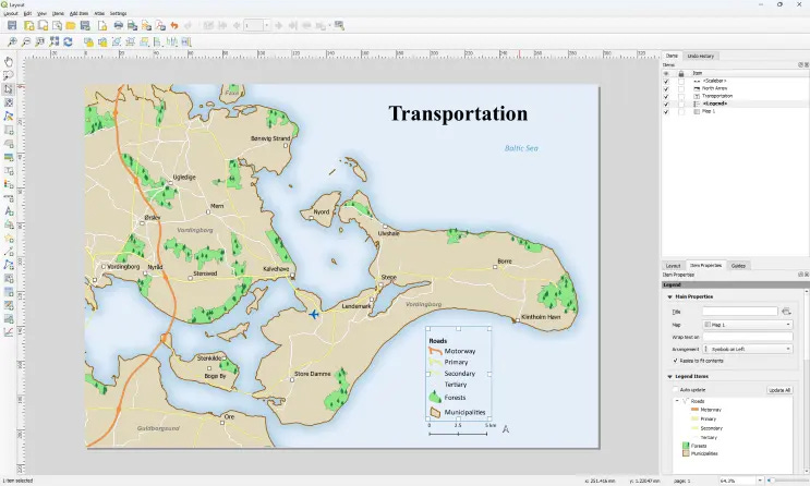
QGIS: Open-source mapping software. Plug in coordinates or addresses, and it builds you a visual. Get it at qgis.org.
Hugging Face Transformers: Pre-built natural language tools. Feed it text (like X posts or PDFs) to extract mentions of resources. Free at huggingface.co.
OSMnx: Pulls OpenStreetMap data into Python. Great for plotting infrastructure like roads or power lines. Install via pip.
Set these up now.
A $50 USB drive can hold them all, preloaded.
Step 3: Build Your System
Here’s the workflow:
Feed the Data: Dump your text files, PDFs, or scraped X posts into a folder. Use Hugging Face to scan for resource mentions—“water at 5th and Main” or “generator running at the school.”
Tag and Sort: TensorFlow Lite can label these as “water,” “food,” or “power” if you train it with a few examples. Spend an hour labeling 50 lines of text, and it’ll figure out the rest.
Map It: Import the tagged list into QGIS. Add lat/long from OpenStreetMap or guess based on landmarks (e.g., “5th and Main” near a known intersection). OSMnx can overlay roads or power lines.
Update Live: In a crisis, check X or radio chatter. Copy-paste into your system, and it’ll refine the map on the fly.
Step 4: Test It
Don’t wait for SHTF. Run a dry test:
Pull last month’s X posts about your town.
Add a fake PDF saying “food truck at city hall.”
See if your setup pins it right. Tweak as needed.
Pro Tips
Power: Run this on a solar-charged battery bank. A 100W panel and a 20Ah battery can keep a Pi going for days.
Offline: Download OpenStreetMap data for your region ahead of time. No internet, no problem.
Security: Encrypt your drive (VeraCrypt is free). If looters snag it, they get nothing.
Reality Check
This isn’t Hollywood AI. It won’t predict the future or talk like JARVIS.
It’s a tool—your job is to filter the noise and act on what it spits out.
In a crisis, a map showing three water sources within 5 miles beats guessing every time.
Start small.
Map your neighborhood’s resources this weekend.
When the next storm hits—or worse—you’ll be the one with the plan, not the one begging for scraps.